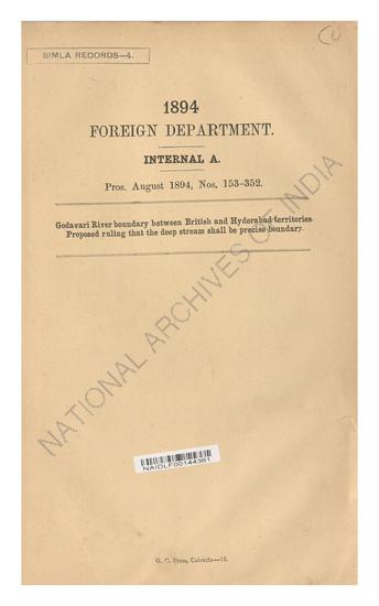
Demarcation of the boundary between British and Hyderabad territory, on the Godaveri River, with reference to mineral rights, Political boundary to be the left margin of the deep stream of the river as it may exit from time to time. Supply to the Madras Government of the last survey map of the territory in question.
| Ministry/ Department/ Residency | Foreign |
| Branch | Internal |
| From Year / Date (YYYY-MM-DD) |
1897-07 |
| To Year / Date (YYYY-MM-DD) |
1897-07 |
| Source Organization | NA |
| Identifier | PR_000001337663 |
| File No./Reference No./Sheet No./Folio No. | Progs., Nos. 16-19, July 1897. |
| Location | NA |
| Part No. | PART A |
| File Size | NA |
| Pages | NA |
| Call Number | NA |
| Publisher | NA |
| Subject | NA |
| Creator | NA |
| Accession Number | NA |
| Series | NA |
| Year of Publication | NA |
| Bundle Barcode | NA |
| Location Code | NA |
| File Barcode | NA |
-
6 views

The National Archives of India is on a mission to digitize and make available online each and every record in its repositories. This is an ongoing effort and some records will be made available before the others.
Hereby you can give us your request for a particular record and we shall digitize and make it available on priority, at a fee, subject to its availability in legitimate conditions.
Other Similar Items
-
- 5 Views

- Demarcation of the boundary between British and Hy...
- Department: Foreign Department
- Branch: Internal-A
- Year / Date: 1897
-
- 1557 Views

- Request of Sadu Sweeper Windermere for the payment...
- Department: Foreign
- Branch: Frontier-B
- Year / Date: 1909
-
- 7 Views

- Godavari River boundary between British and Hydera...
- Department: Foreign Department
- Branch: Internal-A
- Year / Date: 1894
-
- 1599 Views

- Reappropriation of a sum of Rs 106-13-10 from the ...
- Department: Foreign
- Branch: External-B
- Year / Date: 1904
-
- 2070 Views

- Supply of 5 copies of the Report on the Reconnaiss...
- Department: Foreign
- Branch: External-B
- Year / Date: 1892
-
- 4 Views

- Godavari River boundary between British and Hyderb...
- Department: Foreign
- Branch: Internal
- Year / Date: 1894-08
-
- 10 Views

- Request of the Nizam's Government for a reconsider...
- Department: Foreign Department
- Branch: Internal-A
- Year / Date: 1902
-
- 4 Views

- Left edge of the godavari rivers fixed as boundary...
- Department: Public Works
- Branch: Civil Works - Coal & Iron
- Year / Date: 1897-05
-
- 1055 Views

- Request made by the Resident in Waziristan for the...
- Department: Foreign
- Branch: Frontier-B
- Year / Date: 1893
-
- 8 Views

- Re-Survey of the Bombay between British territory ...
- Department: Indian Embassy Nepal
- Branch: General
- Year / Date: 1879
