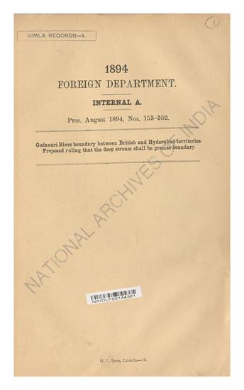
Demarcation of the boundary between British and Hyderabad territory, on the Godaveri River, with reference to mineral rights. Political boundary to be the left margin of the deep stream of the river as it may exist from time to time. Supply to the Madras Government of the last survey map of the territory in question.
| Keywords | Godaveri River British Hyderabad Simla Foreign Department Government of India Surveyor-General |
| Ministry/ Department/ Residency | Foreign Department |
| Branch | Internal-A |
| From Year / Date (YYYY-MM-DD) |
1897 |
| To Year / Date (YYYY-MM-DD) |
1897 |
| Source Organization | NA |
| Identifier | NAIDLF00145718 |
| File No./Reference No./Sheet No./Folio No. | Pros. July 1897, Nos. 16-19. |
| Location | R3 |
| Part No. | NA |
| File Size | 11.9 MB |
| Pages | 7 |
| Call Number | NA |
| Publisher | NA |
| Subject | NA |
| Creator | NA |
| Accession Number | NA |
| Series | NA |
| Year of Publication | NA |
| Language | English |
| Bundle Barcode | NAIDLB00024856 |
| Location Code | 005-0-006-001-07-03 |
| File Barcode | NAIDLF00145718 |
| QC Certificate No. | QC_20240701DL |
| Bundle No. | 257 |
-
4 views
Other Similar Items
-
- 6 Views

- Demarcation of the boundary between British and Hy...
- Department: Foreign
- Branch: Internal
- Year / Date: 1897-07
-
- 6 Views

- Godavari River boundary between British and Hydera...
- Department: Foreign Department
- Branch: Internal-A
- Year / Date: 1894
-
- 4 Views

- Godavari River boundary between British and Hyderb...
- Department: Foreign
- Branch: Internal
- Year / Date: 1894-08
-
- 9 Views

- Request of the Nizam's Government for a reconsider...
- Department: Foreign Department
- Branch: Internal-A
- Year / Date: 1902
-
- 2005 Views

- Supply of 5 copies of the Report on the Reconnaiss...
- Department: Foreign
- Branch: External-B
- Year / Date: 1892
-
- 4 Views

- Left edge of the godavari rivers fixed as boundary...
- Department: Public Works
- Branch: Civil Works - Coal & Iron
- Year / Date: 1897-05
-
- 7 Views

- Re-Survey of the Bombay between British territory ...
- Department: Indian Embassy Nepal
- Branch: General
- Year / Date: 1879
-
- 4 Views

- Request of the Nizam Govt. for a reconsideration o...
- Department: Foreign
- Branch: Internal
- Year / Date: May-02
-
- 5 Views

- Godaveri river boundary between British and Hydera...
- Department: Foreign
- Branch: Internal
- Year / Date: 1897-05
-
- 21 Views

- Demarcation of the Bhutan boundary. Forwards to th...
- Department: Government Of Bengal
- Branch: Political
- Year / Date: 1873-03
