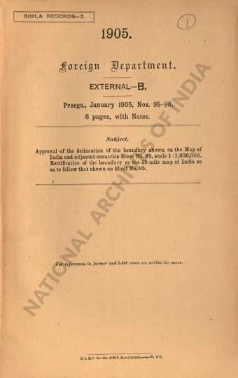
Approval of the delineation of the boundary shown on the Map of India and adjacent countries Sheet No. 95, scale 1:1000,000, Rectification of the boundary on the 32-mile map of India so as to follow that shown on Sheet No.95.
| Ministry/ Department/ Residency | Foreign |
| Branch | External |
| From Year / Date (YYYY-MM-DD) |
1905-01 |
| To Year / Date (YYYY-MM-DD) |
1905-01 |
| Source Organization | NA |
| Identifier | PR_000000314625 |
| File No./Reference No./Sheet No./Folio No. | Progs., Nos. 95-98 January 1905 |
| Location | NA |
| Part No. | B |
| File Size | NA |
| Pages | NA |
| Call Number | NA |
| Publisher | NA |
| Subject | NA |
| Creator | NA |
| Accession Number | NA |
| Series | NA |
| Year of Publication | NA |
| Bundle Barcode | NA |
| Location Code | NA |
| File Barcode | NA |
-
17 views

The National Archives of India is on a mission to digitize and make available online each and every record in its repositories. This is an ongoing effort and some records will be made available before the others.
Hereby you can give us your request for a particular record and we shall digitize and make it available on priority, at a fee, subject to its availability in legitimate conditions.
Other Similar Items
-
- 15 Views

- Approval of the delineation of the boundary shown ...
- Department: Foreign
- Branch: External-B
- Year / Date: 1905-01-01
-
- 5 Views

- Approval of the delineation of the boundary shown ...
- Department: Foreign
- Branch: External-B
- Year / Date: 1905
-
- 21 Views

- Approval of the boundary's delineation as depicted...
- Department: Foreign
- Branch: External-B
- Year / Date: 1905-01-01
-
- 4 Views

- Approval of the boundaries and classification of t...
- Department: Foreign
- Branch: External
- Year / Date: 1905-05
-
- 2 Views

- Calcification of the map of India and adjacent con...
- Department: Foreign
- Branch: External
- Year / Date: 1905-03
-
- 12 Views

- Approval to the delineation of a portion of the Bu...
- Department: Foreign and Political
- Branch: Frontier-B
- Year / Date: 1921
-
- 17 Views

- Approval to the delineation of a portion of the Te...
- Department: Foreign and Political
- Branch: Frontier-B
- Year / Date: 1921
-
- 4 Views

- Map of India & Adjacent countries Sheet No. 92. Sc...
- Department: Foreign
- Branch: External
- Year / Date: 1905-12
-
- 6 Views

- Approval to the delineation of a portion of the Bu...
- Department: Foreign and Political
- Branch: Frontier-B
- Year / Date: 1921
-
- 4 Views

- Approval of the extravert boundary of India, in sy...
- Department: Foreign
- Branch: External
- Year / Date: 1907-07
